
Routes
Quan Ba to Du Gia: The Scenic Shortcut
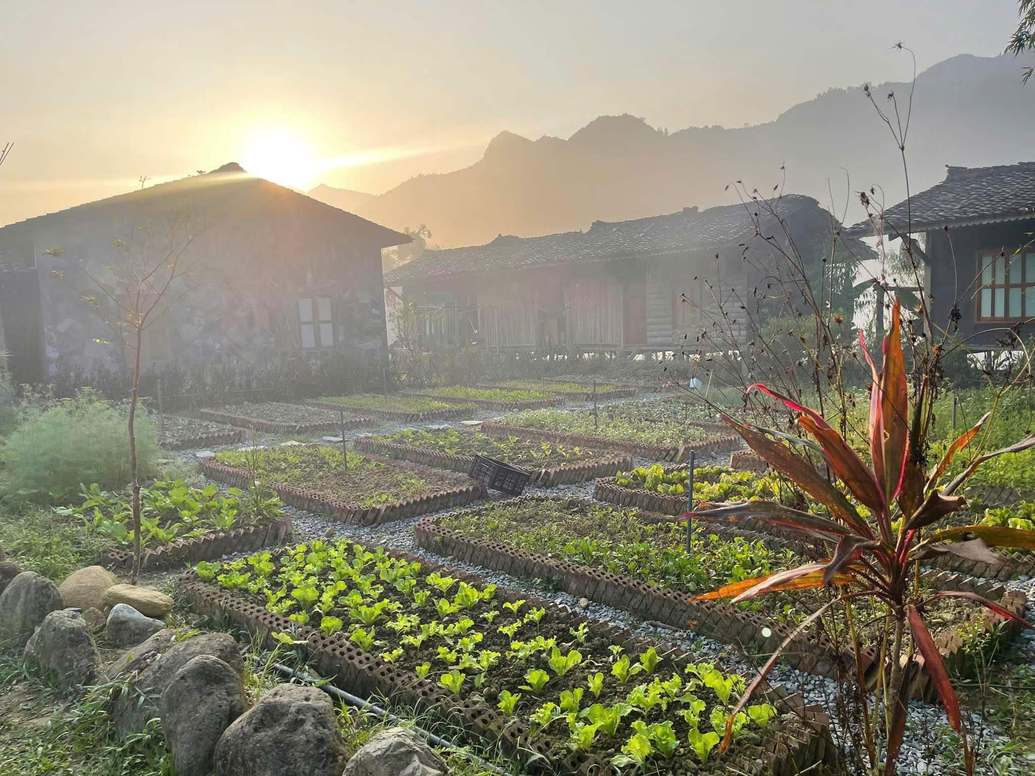
The ride from Quan Ba to Du Gia (typically via the DT181/DT176) is a favorite for those looking to bypass the busier northern highway and dive straight into the heart of the limestone wilderness. This 70km stretch transitions from the famous “Fairy Bosom” hills into deep, prehistoric valleys where the road narrows and the scenery becomes raw and untouched.
This route blog is part of our Ha Giang Route Planner, so if you are looking for further for ideas on routes and tips to help keep you safe. Check it out.
Quick Stats
- Region: Southern Ha Giang Loop
- Total Distance: Approx 70km, depending on which route.
- Duration: 1 Day / 3-4hrs driving time. But, you’ll stop a lot.
- Terrain: Narrow mountain passes with sections of broken asphalt.
- Best Time of Year: Nov-Dec: for dry skies and clear views.
- Best Time of Day: Slightly later start. You have plenty of time to let the morning mist burn off.
- Difficulty: Challenging. Narrower with steep descents and rough patches. A good level of skill and concentration are needed.
- Fuel/4/5G: Scarce fuel stops, but low distance. Intermittent 4G/5G coverage for most of the route.
- Warnings: Be ready to pull over on the narrow sections and also honk when approaching blind corners to alert oncoming traffic.
Route Map
Send to My Phone
The BLACK ROUTE will take you up out of the Thai An Valley and to Duong Thuong. It is quite high at points so be ready for mist and low viz. Another climb out of Lung Ho also sees you gain altitude but you drop into Du Gia which is usually much warmer.
Where to Next
Du Gia is deep in the centre of the loop and you are likely heading northwards. The options would be to head for Yen Minh or Meo Vac even if you were ultimately aimed at getting to the tippy top of Vietnam, Lung Cu.
YouTube Video
Tips & Advice
There is a lot of climbing on this route which means a wide range of temperatures. Make sure to be prepared for this. The riding is a little challenging at times but traffic is low and the views are amazing.
Police & Law
- Alcohol: Strict zero-tolerance policy. Even one beer can lead to bike impoundment.
- Checkpoints: Possibly on the way out of Quan Ba. Road blocks are usually set up before here.
- Cameras: Speed/safety cameras are active in Quan Ba, not so much anywhere else until you get to Du Gia.
Road & Safety
- Brakes: Use low gears(engine braking) on descents to prevent brake failure.
- Coasting: Never coast in neutral.
- The Route: There are narrow and steep parts on this route. Take care and stay in lane.
- Weather: Prepare for the cold and take rests to warm up if needed. Be comfortable with low visibility.
Clothing & Gear
- Layer for change: Wear layers that you can change easily.
- Waterproofs Be sure to have at least a raincoat. Even the constant mist will soak you to the skin.
- Hi-Viz Gear: Wear bright clothing or a high-vis vest to ensure you are seen through the mountain mist and heavy traffic.
Mountain Weather Realities
Conditions change rapidly as you climb. Expect high humidity and sudden dense fog or mist at the summits, which significantly reduces visibility.
Temperatures fluctuate quickly between the valleys and passes, and even light rain makes the oil-slicked asphalt extremely slippery. Always be prepared for low-visibility and high-moisture environments.
7-Day Due North Motorcycle Tour
Ride deep into Vietnam’s northern frontier: mountain passes, hidden valleys, and rich history packed into one unforgettable week Book NowFAQ
Is mobile signal available for navigation?
It is very weak in the deep valleys. Download offline maps for the entire Ha Giang province. Look for the “Du Gia” signs at the major forks in the road; they are small but usually present.
Is this route safe for a pillion (passenger)?
It is doable, but the extra weight makes the steep descents and narrow corners much more difficult. If you are riding two-up, ensure the driver is highly experienced with mountain terrain.
Our easy riders are well accustomed to this and have no trouble at all.
Are there places to eat along the DT181/DT176?
Options are limited compared to the main loop. Thai An village has a few basic “Com Binh Dan” (rice and meat) stalls. Duong Thuong has a small restaurant but it may be closed when you arrive.
It’s best to pack some high-energy snacks and stop for water frequently on route.
How are the road conditions on the DT181/176 currently (2026)?
The road is mostly paved, but “pavement” in Ha Giang often means cracked asphalt and potholes. Expect construction near the Thai An area and some loose gravel on the hairpins.
Are there any hidden waterfalls on this specific stretch?
Aside from the main Du Gia waterfall at the end, keep an eye out for small roadside cascades in the Thai An valley during the rainy season, though these often dry up in winter.
The Heart of the Highlands
The journey from Quan Ba to Du Gia is a transition into the true, rugged soul of Northern Vietnam. It trades the tourist-heavy landmarks for silent valleys and challenging mountain passes. Drive with patience, respect the steep descents, and you’ll be rewarded with one of the most immersive rides on the entire loop.
Ready for the next climb? Ensure your bike is fueled and your brakes are sharp for the ascent toward your ultimate goal of Dong Van.
If you prefer to head all the way to the tippy tip of Vietnam then check out our route map from Yen Minh to Lung Cu. If you are looking to wind your way through the small concrete paths that cling to the hillside then you should follow the route map above to Meo Vac.
Adventure Awaits